
PAGASA Releases Latest Weather Update for Thursday (September 17, 2026)
PAGASA reported that a low-pressure area and the Intertropical Convergence Zone will bring rain over Southern Luzon, Visayas, and Mindanao.
On Thursday (September 17, 2026), the Philippine Atmospheric, Geophysical, and Astronomical Services Administration released the latest weather update in the country. The LPA and ITCZ will continue to affect the country’s weather conditions.
Pagasa weather specialist Obet Badrina reported that a low-pressure area was spotted 125 kilometers east of Puerto Princesa, Palawan.
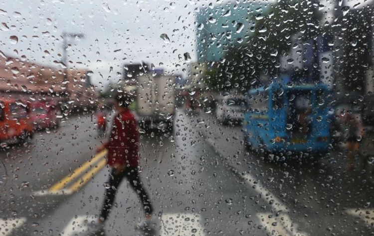
The LPA is expected to bring cloudy skies with scattered rain showers and thunderstorms over the Visayas, MIMAROPA, Bicol Region, Zamboanga Peninsula, BARMM, Northern Mindanao, Caraga, Batangas, Quezon, Davao del Norte, Davao de Oro, and Davao Oriental.
“This will bring cloudy skies with scattered rains and thunderstorms. Visayas, Southern Luzon, a huge portion of Mindanao, especially Northern Mindanao, Zamboanga Peninsula, and Caraga Region have a high chance of seeing rains,” Badrina said.
The localized thunderstorms will bring partly cloudy to cloudy skies with isolated rain showers or thunderstorms over Metro Manila and the rest of Luzon.
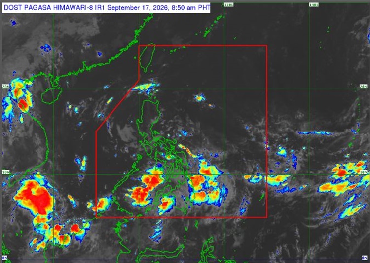
The southwest monsoon will prevail over Palawan, Mimaropa, and parts of Visayas and Mindanao.
Meanwhile, the coastal water condition across the country will be slight to moderate.
The weather agency has also advised the public to take precautionary measures for possible flash floods or landslides due to possible heavy rains.
On the other hand, Tropical Storm Dujuan is being monitored outside the Philippine Area of Responsibility. It was last spotted 2,970 kilometers east of Northern Luzon. It has a slim chance of entering PAR.
This is a developing report, just visit this website regularly for further updates.